

Earthworks & Construction
Tough,made easy.
Site maps, cut-and-fill volumes, progress videos and monthly 360° tours for civil construction and earthworks teams across the Southeast.
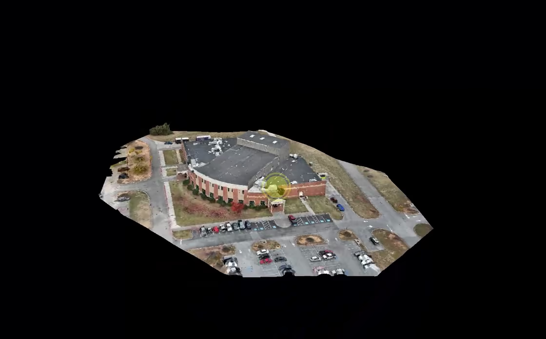
Ortho maps, 3D models, volume reports, progress videos, monthly 360° tours
General contractors, developers, concrete and foundation crews
Georgia and the Southeast, from our Atlanta base
Data back in days, not weeks
What we do
From mapping an entire site to getting volumetric cut and fill measurements, we've got all of your aerial needs covered for your project.
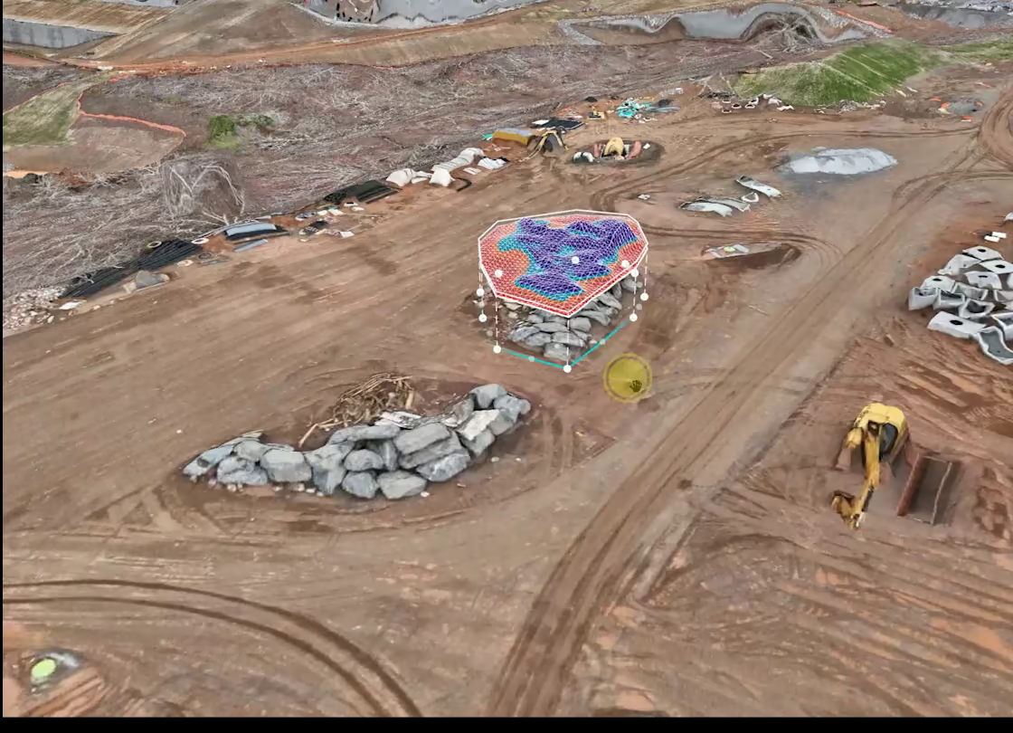
One flight gives your team a measurable record of the site: where the dirt went, how much is left in the pile, and what the job looked like the day the pour went in. Need a progress or marketing video? We shoot the ground footage too and edit it ourselves.

Cut / fill
- ▲ Cut
- 18,420 yd³
- ▼ Fill
- 16,950 yd³
- Net
- +1,470 yd³
Why fly it
Why crews send us up.
Hover a reason to find it on the site
- 01
Time-efficient
Traditional mapping methods take a considerable amount of time. Drones can quickly capture the data and process the deliverables with a quicker turnaround time.
- 02
Mapping data & quality
Drone cameras can take photos that can create millions of data points, elevation points, and colors. Post-processing the photos can create high-resolution 2D ortho maps, 3D models and other valuable data sets.
- 03
Stockpile measurements
Drone cameras, along with post-photo processing software, can provide stockpile measurement reports that contain volumetric data to track stockpile inventory.
- 04
Site progression
Getting an aerial view of the site's progress provides a different perspective and appreciation for the totality of the job. From skidding, to grading, to framing, to completion, it's a great way to historically document each phase of the entire job. Monthly 360° tours let your team walk the site remotely and keep track of the job over time.
- 05
Project planning & marketing
Drones can capture imagery of your site and allow project teams to superimpose renderings to obtain a more realistic perspective of how the property may look in the future.
- 06
Pre-construction vibration monitoring
Drones are used to document the conditions of surrounding structures for evidence of pre-existing damage which the new builders cannot be held liable for. Drones can capture the current condition of appurtenances, pools, parking garages, balconies and more.
Your site, layer by layer.
Tap a layer to explore what we offer. You choose what fits your project.



Featured project
T5 Data Centers
Step inside T5's data center buildings in Lithia Springs with a 360° interior tour.

Other services
More ways to see your project.


Get a quote
Get eyes on your site.
Send the address and what you need. We'll come back with an accurate estimate.
- Part 107 certified pilots
- UAV insured, COI on request
- Georgia, Alabama, Florida, South Carolina, Tennessee