Test Blog

Volumetric measurements are essential for a variety of tasks, including calculating material quantities for removal or addition, assessing stockpiles and quarries, and determining land requirements for construction projects.
Traditionally, volumetric assessments rely on survey teams and a slew of manual calculations. This approach is labor-intensive, often taking weeks to deliver reports and can be quite costly. Moreover, it is prone to subjective interpretations and potential errors, leading to outdated or inaccurate results.
Enter drone technology: a game-changer in the realm of volumetrics. Drones streamline the entire process, providing real-time measurements at a fraction of the cost and time associated with traditional methods. The accuracy of drone-generated data surpasses that of manual surveys, and results are delivered instantly.
One major advantage of drones is their ability to perform measurements without halting work around the stockpile. Unlike traditional survey teams that can cause project delays and workflow interruptions, drones reduce safety risks and allow operations to continue smoothly on-site.
Drones excel at efficiently measuring stockpiles, covering extensive areas quickly and capturing data from multiple perspectives. This capability is especially beneficial for stockpiles situated in difficult-to-access or hazardous locations, as drones can gather necessary measurements without requiring human presence in these areas.
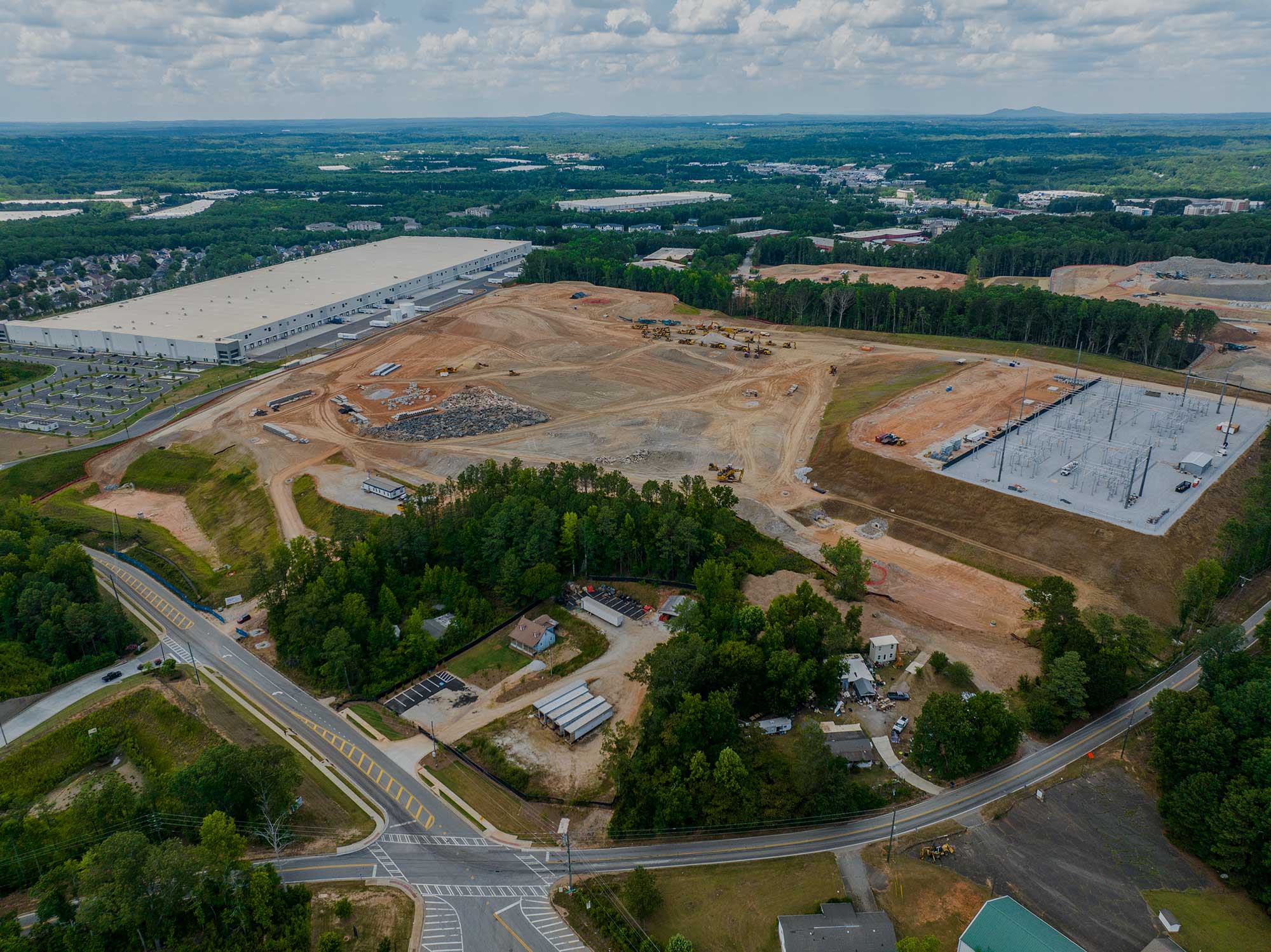
Equipped with advanced sensors like LiDAR or high-resolution cameras, drones capture detailed images and data during their flight. This information can be used to generate a 3D model of the stockpile, facilitating precise volume calculations.
Additionally, the high-resolution aerial imagery produced by drones can help construction teams visualize and address potential design challenges, thus preventing resource waste. These 3D models also assist in ensuring that projects adhere to the original design plans and offer clients a preview of the final outcome.


